
 |
 |
Leave
Departure Bay
|
 |
 |
Leave
Horseshoe Bay
|
 |
 |
Duke Point -
|
 |
 |
Tsawwassen -
|

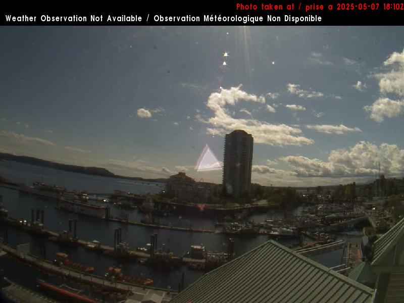
at 5th Street looking north
Hwy 4 about 9 km east of Port Alberni, looking west. (elevation: 411 metres)
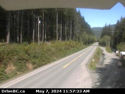
Hwy 19 at Cook Creek Road, about 29 km north of Parksville, looking north
Hwy 19 at Hamm Road, about 25 km north of Courtenay, looking north

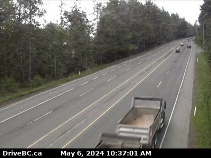
Hwy 19, 15km north of Campbell River, looking north
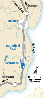
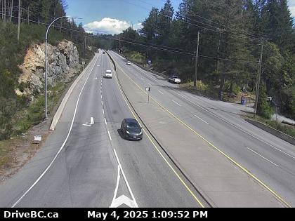
Hwy 1 south of Mill Bay Rd Overpass at the Bamberton Park Entrance, looking south
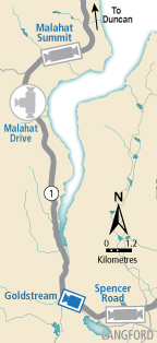
Malahat
Hwy 1 at South Shawnigan Lake Road, looking north
Goldstream
Hwy 1 near Sooke Lake Rd intersection
at the South Entrance to Goldstream Park, looking north


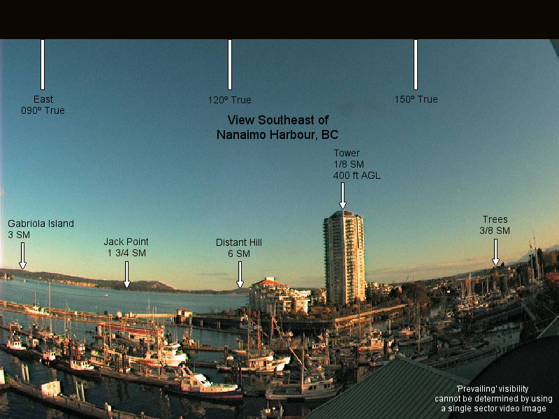
(Dallas Road at Ogden Point)


(Columbia Beach)


(Parksville Beach)
Qualicum Beach


Rathtrevor Beach courtesy of Beach Acres Resort


Long Beach Lodge - Cox Bay, Clayoquot Region


Port Alberni

Looking East Looking West

Amphitrite Point Lighthouse


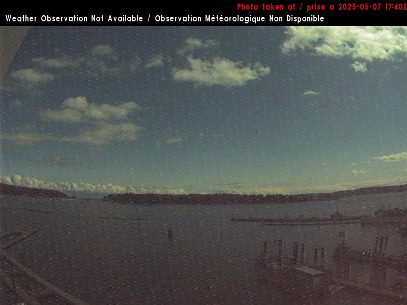
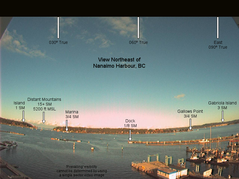
 View
to the Northeast
East to Hardwicke Island
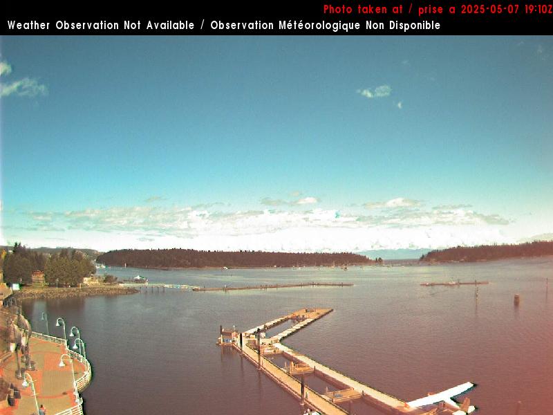
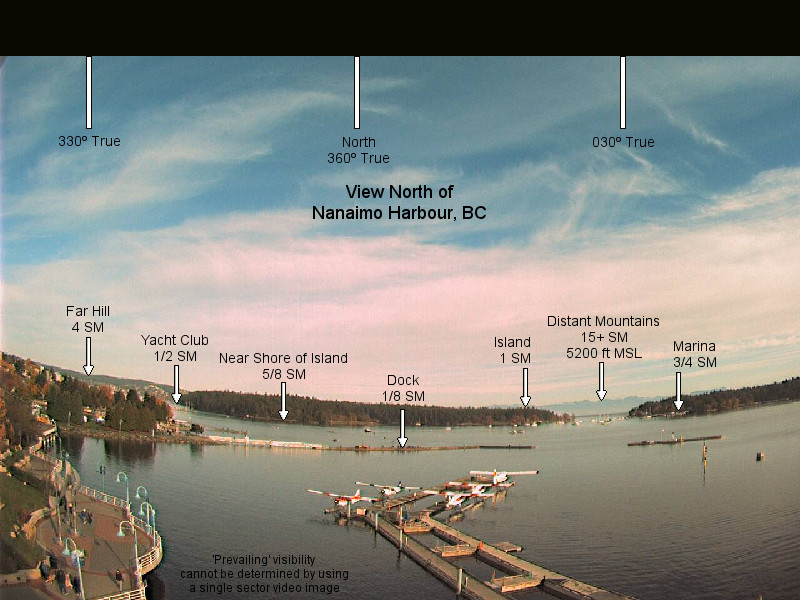
View
to the Northeast
East to Hardwicke Island


Other BC and Yukon Region Cams and Links to Rest of Canada
Webcams+ around BC and Yukon of Canada
For Something Completely Different
Our Home from 1944 to 1953
Montana-Crans Environ


